- Home
-
Services

Services
Information about Council's regular services and programs.
-
Community

Community
Information about Council's community initiatives and support.
-
Business

Business
Information about doing business and investing in the shire.
-
Development

Development
Information about Building and Development in the Bega Valley Shire.
-
Council

Council
Information about how Council operates.
 Pay online
 Water interruptions
 Road information
 Bin collection
 Waste Centre hours
 Pets and animals
 Lodge a DA
 Tree action request
 Libraries
 Venues for hire
 Report an issue
News and Notices
Browse current Council news and notices, or provide us with feedback on current projects via 'Have your say'.
-

Solar and battery boost for Bega Valley community facilities
Bega Valley Shire Council has secured $136,000 in government funding to install solar and battery systems across several Council-owned community facilities.
Jul 15, 2025
-

Rural Cobargo residents invited to waste system trial information session
Bega Valley Shire Council is inviting Cobargo residents without a roadside waste collection service to attend an information session about the upcoming Semi-Automated Waste Disposal System (SAWDS)...
Jul 11, 2025
-

Forums aim to foster long-term employment pathways in the shire
Bega Valley Shire Council is excited to announce two upcoming forums designed to foster long-term employment pathways for cadets and trainees within the local civil construction and trade industries....
Jul 3, 2025
-

Art meets environment in waste truck transformation project
Bega Valley Shire Council is partnering with South East Arts to deliver an exciting public art initiative that combines creativity with sustainability.
Jul 3, 2025
-

New SECCA exhibitions offer local stories and global perspectives
Bega Valley Shire Council is excited to announce the launch of two upcoming exhibitions at SECCA (South East Centre for Contemporary Art) on Friday 11 July that offer distinct yet interconnected perspectives...
Jul 2, 2025
-

New direct debit system – Payble – making it easier for our customers
Bega Valley Shire Council’s new direct debit system – Payble – is making it simpler and easier for ratepayers to pay their rates and water bills.
Jul 2, 2025
-

Help shape the future of our playgrounds!
Bega Valley Shire Council is planning for the future of play in our community - and we want to hear from you!
Jun 30, 2025
-
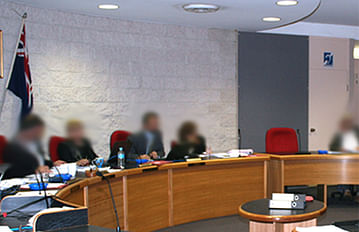
Council Meetings Bega Valley Shire Council
Council meeting information, schedules, agendas and minutes.
Feb 17, 2022
-

Make a Suggestion
Help us make it better, suggest something.
Mar 7, 2022
-

Development proposals on exhibition
Have your say on applications open for public comment.
Feb 17, 2022

Need a venue?
The Bega Valley Commemorative Civic Centre has a range of room hire options to suit your needs.
Find out more
Our Libraries have more than just books!
Check out what the library has on offer.
Bega, Bermagui, Eden and Tura Marrang.

Funding notification
Don't miss out on funding, register your expression of interest and be notified when a grant becomes available.
Register your details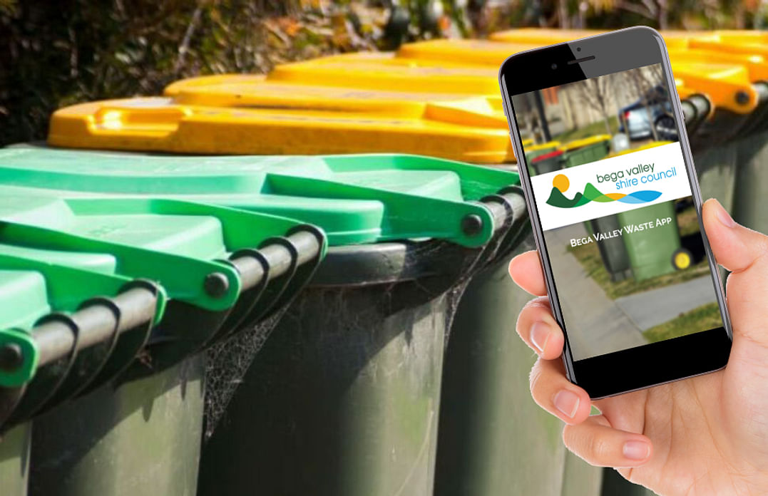
When do I put my bin out?
Council's free Waste App helps you stay up to date with bin collection days and learn how to recycle more effectively.
Don't have the Waste app? Find it by searching for Bega Valley Waste in your App store or head to the website.
Need a venue?
The Bega Valley Commemorative Civic Centre has a range of room hire options to suit your needs.
Find out more
Our Libraries have more than just books!
Check out what the library has on offer.
Bega, Bermagui, Eden and Tura Marrang.
© Bega Valley Shire Council 2025
Our council websites
Contact Us
- 02 6499 2222
- council@begavalley.nsw.gov.au
-
Zingel Place
PO Box 492
Bega NSW 2550 -
Monday to Friday 9.00AM to 4.30PM
Administration building Zingel Place Bega
Australia -
ABN: 26 987 935 332