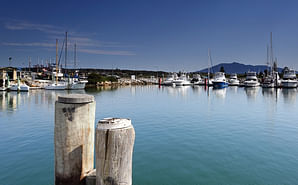
Merimbula Lake and Back Lake Floodplain Risk Management Study and Plan
This study and plan is being undertaken to assess options to manage the flood risk in these areas.
Background
In 2017 Bega Valley Shire Council completed a Flood Study for Merimbula Lake and Back Lake.
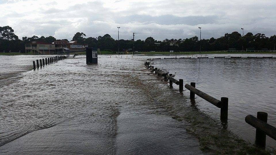
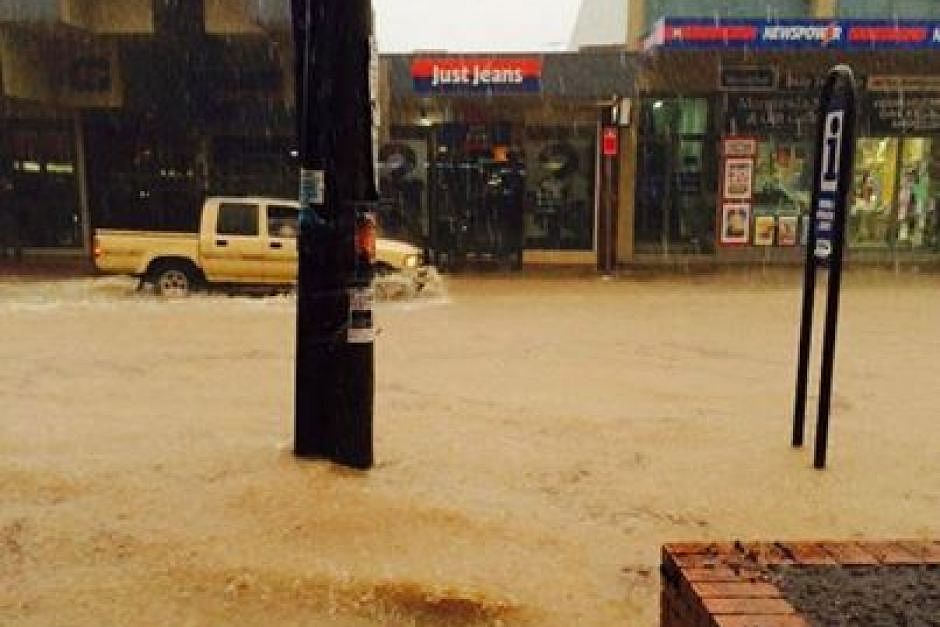
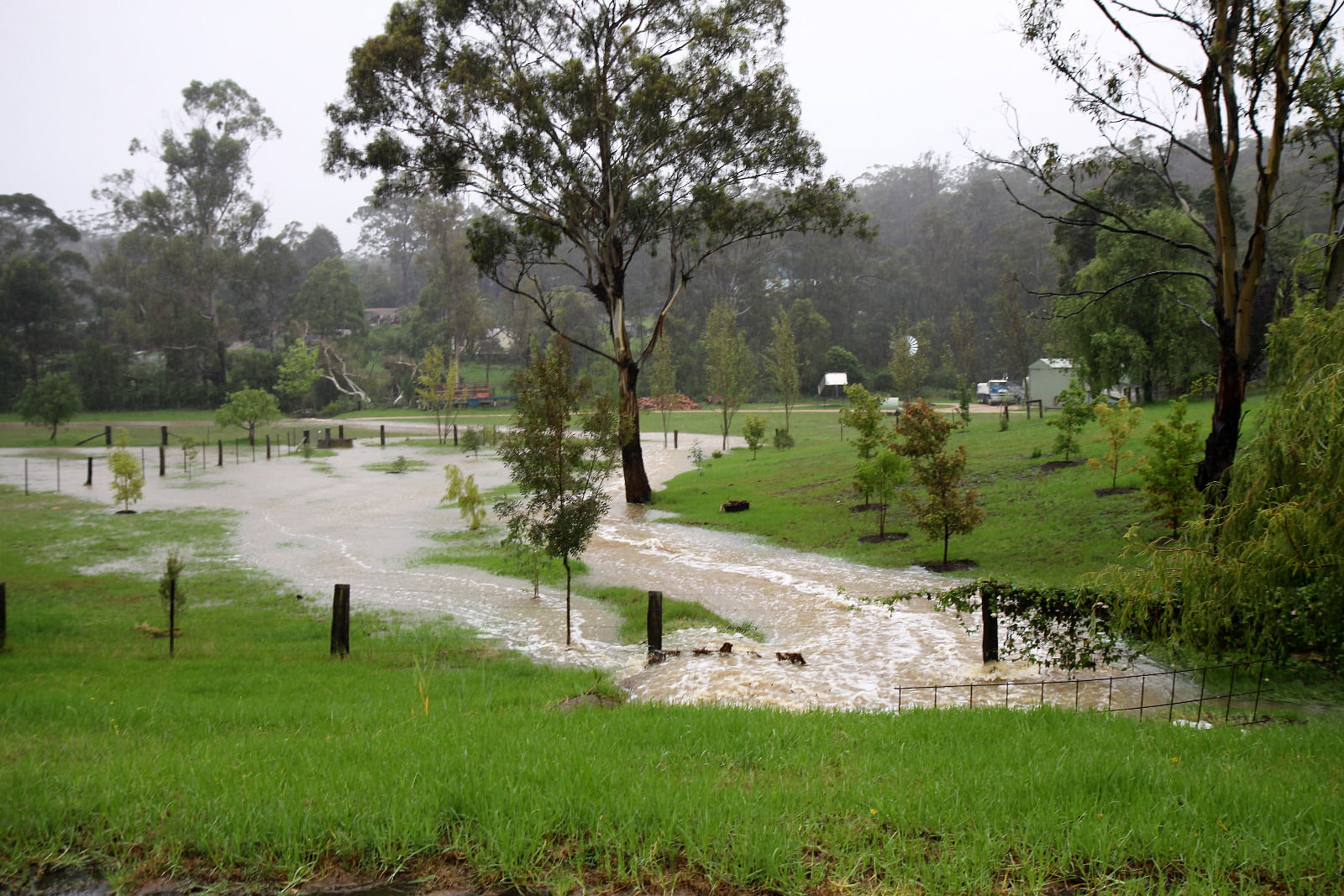
Historical flooding was identified by the community as part of the 2017 Flood Study, this included flooding observed in Merimbula CBD in September 2014, at Berrambool Oval in December 2014 and local creek flooding at Millingandi in February 2010. The foreshore areas of Merimbula Lake were also moderately impacted by the East Coast Low in 2016.
The community provided valuable input to the Flood Study through surveys (May 2015) and drop-in sessions (September 2016). This information was used to ensure the flood study models produced results that were consistent with community observations.
The community was invited to provide Council with information on flooding issues they were aware of during drop-in information sessions held in late 2018 at the Bega Valley Regional Learning Centre. Suggestions were provided on how members of the community would like to see these problems addressed.
Information about the project was sent out to residents and property owners within the study area at the time. The same information was also published on Council’s website where an online survey was available.
The study included the foreshore and low-lying areas near Merimbula Lake and Back Lake as well as the catchments draining to the lakes. Flooding in these areas can be caused by ocean storms, extreme tides and intense rainfall.
The study identified potential flood risks to people, property, infrastructure and assets.
Council has now completed the subsequent Floodplain Risk Management Study and Plan using a similar consultation process that has now identified various options to reduce the risks and damages caused by flooding in the specific catchments.
Purpose
The preparation and implementation of Floodplain Risk Management Plans is the cornerstone of the NSW Government’s Floodplain Management Program that is delivered in accordance with the 2005 NSW Government Floodplain Development Manual. Management plans can eliminate the ad-hoc decision-making process which has contributed to many present day flooding problems.
As part of the study, Council worked collaboratively with the State Government, consultants and the community to assess options for managing flood risk such as protection works, improved infrastructure, revised emergency response procedures and planning controls. The Floodplain Risk Management Plan recommends the most appropriate measures for implementation.
Funding
The NSW Department of Planning, Industry and Environment supported Council by providing technical assistance and grant funding for the project.
Council was successful in securing a grant through the Office of Environment and Heritage Floodplain Management grant program during late 2017. The grant program provided funding at a ratio of two state dollars per Council dollar. Under the terms of the grant funding agreement Council is required to provide a matching contribution of one-third the total project cost.
Council at its meeting of 31 January 2018 resolved to accept the grant offer.
The process
-
Stage 1
Data Collection, Review and Community Consultation – October 2018 to January 2019
-
Stage 2
Flood damages and hazard assessment – June to October 2019
-
Stage 3
Floodplain management options assessment – November to April 2020
-
Stage 4
Draft Floodplain Risk Management Study and Plan – May 2020 to October 2020
-
Public Exhibition
November 2020
-
Completion of Floodplain Risk Management Study and Plan
January / February 2021
-
Council endorsement
17 February 2021
Community Strategic Plan (CSP) link
The Merimbula and Back Lake Floodplain Risk Management Study and Plan was an identified project in the 2017 – 2021 Delivery Plan to Identify and Complete Floodplain Risk Management projects.
The project addresses Outcome 5 Connected Communities Goal 10: We have a network of good quality roads, footpaths and cycleways connecting communities throughout the Shire and beyond from the Bega Valley Shire Community Strategic Plan 2040 – Working Towards our Future
Frequently Asked Questions
The information will inform future land-use planning, strategic asset planning and emergency response planning for the identified catchments. Council, NSW SES and the community will benefit from the information for their specific purposes. The information will inform future land-use planning, strategic asset planning and emergency response planning for the identified catchments. Council, NSW SES and the community will benefit from the information for their specific purposes.
Floodplain Risk Management plans can eliminate ad-hoc decision-making processes as they apply to specific catchments and communities. The adopted Plan (as informed by the corresponding Floodplain Risk Management Study) represents a considered and strategic approach incorporating a broad range of issues and stakeholders not just limited to Council and its community. Adopted actions in a Floodplain Risk Management Plan can become eligible for funding through the NSW State Government’s Floodplain Management Grant Program upon successful application.
A 1 in 100 year flood is a flood event that has the probability of occurring on average once every 100 years, i.e. there is a 1% chance of a flood of this size occurring at a particular location in any given year. This does not mean that if a location floods one year that it will not flood for the next 99 years. Nor, if it has not flooded for 99 years that it will necessarily flood the next year. Some parts of Australia have experienced more than one ‘1 in 100 year’ floods within a decade of each other. Within the Floodplain Risk Management Study and Plan the ‘1 in 100 year’ flood is referred to as the 1% AEP (Annual Exceedance Probability) flood event.
The Flood Planning Area (FPA) is the area within which developments may be conditioned with flood related development controls. The FPA is calculated as the area below the Flood Planning Level.
The Flood Planning Level is a height used to set floor levels for property development in flood prone areas. It is generally defined as the 1% AEP flood level plus an appropriate freeboard (see explanation of ‘Freeboard’ below). This level may be higher for vulnerable land uses (e.g. hospitals or schools).
A freeboard is a height above the 1% AEP flood level that is included in the FPL to account for factors such as wind, waves, unforeseen blockages, other localised hydraulic effects. Freeboard is usually 0.5m above a flood level.
The original Flood Study included a preliminary assessment of the impacts of sea level rise and changes in rainfall. The Floodplain Risk Management Study will assess the impacts of climate change on flooding in more detail.
Council’s flood modelling determines the extent of flooding throughout the catchment and the identification of properties partially or fully impacted by flooding.
Residents may contact Council for further information.
Council frequently publishes the adopted findings of its completed flood study and floodplain risk management study and plan projects can viewed on our Flood Plain Management webpage
If the situation is life threatening you should call 000.
For other assistance during an emergency such as flood, storm or tsunami, please contact the NSW State Emergency Service (SES) on 132 500 or visit their website at www.ses.nsw.gov.au
It is best to be prepared for any flood. The State Emergency Service provides advice on how to manage your flood risk at floodsafe.com.au
NSW Councils have responsibility for identifying and managing flooding, and informing the community. Councils follow the NSW Flood Prone Land Policy, which outlines how Councils should manage flooding to reduce the risk to people and properties.
Councils prepare Flood Studies and Plans according to the NSW Government's Floodplain Development Manual (2005), and implement associated recommendations with the technical and financial assistance of NSW Government and key stakeholders through the Flood Prone Land Policy.
A Flood Study provides technical information on the likelihood and characteristics of flooding within a catchment. It provides detailed information about the nature of flood risk including the distribution, extent, depths, levels and velocity of floodwaters for a range of storm events, including a 100 year flood.
A Floodplain Risk Management Study and Plan analyses flood behaviour and identifies and prioritises options to help protect people and property through better planning, emergency management and infrastructure works.
There are three main ways of managing flood risk:
- emergency management
- property modification
- flood modification
Emergency management measures seek to help people at risk during a flood. This includes sharing information with the State Emergency Service, flood warning systems, increasing community awareness of flooding, and identifying evacuation routes and locations of emergency refuge centres.
Property modification measures consider the way in which land is used, the buildings that are on it and the extent of flooding on a property. These measures are typically addressed in the Local Environmental Plans and Development Control Plans.
Flood modification measures change the behaviour of flood waters with structural methods. This includes levees, creek management, estuary entrance management and improved stormwater infrastructure.


