- Home
-
Services

Services
Information about Council's regular services and programs.
Airport
Community Services
Environment
- Biodiversity
- Biosecurity and weed management
- Climate Change
- Coast and estuaries
- Environmental programs and partnerships
- Floodplain management
- Pollution incident management
Footpaths and Cycleways
Rates and Charges
Report it
- Abandoned Vehicles and Trailers
- Fish waste recycling bin
- Illegal dumping
- Lost, damaged or stolen bin
- Make a suggestion
- Overflowing Public Litter Bins
- Overgrown land or properties
- Public Liability incident report
- Report an issue
- Streetlight faults
Roads and Parking
Vegetation Management
-
Community

Community
Information about Council's community initiatives and support.
Animals and Pets
- Barking dogs
- Breeders Responsibilities - Dogs & Cats
- Dog walking areas
- Keeping animals
- Ranger Services
- Report a missing pet
- Animals for rehoming
Arts and Culture
- South East Centre for Contemporary Art (SECCA)
- Filming and photography in the shire
- Arts and Culture plan
Bushfire Planning and Recovery
- Coolagolite Bushfire Recovery
- Bushfire Risk Management
- Community Recovery and Rebuilding
- Plan and Prepare
- Emergency Planning - People Living with Disability
Citizenship
Community Support
Events
Grants and Funding
- Council Community Grants
- Funding finder
- Letters of support
- Grant - Expression of Interest
- Community grants program variation request
- Community grants program final report
Have your say
- Community Engagement Strategy
- Documents on exhibition
- Development proposals on exhibition
- Lodge a petition with Council
Health and Safety
-
Business
Business
Information about doing business and investing in the shire.
-
Development

Development
Information about Building and Development in the Bega Valley Shire.
Building and Certification
- About inspections
- Book an inspection
- Building and Certification
- Building Code of Australia
- Building steps check list
- Bushfire provisions and safety
- Construction site management
- Fire safety certification
- Insurance information
- Owner builder information
- Principal Certifying Authority
- Safety when renovating
Bushfire Resilient Housing Toolkit
Certificates
Development Applications (DAs)
- Delays to DA assessment times
- Types of DAs
- The DA process - Your guide
- Planning Portal
- Applications on exhibition
- Approved applications
- Make a submission on a DA
- DA Enquiry
Do I need approval?
- Development advice services
- Electric Vehicles
- Exempt and complying development
- Use of Public Land
- Vegetation and tree management
- Tiny homes
- Land use matrix
Planning
-
Council
Council
Information about how Council operates.
About Council
- Contact us
- Customer service charter
- Payments online
- Policies, procedures and delegations
- Our organisation
- Programs and partnerships
Accessing Council Information
Careers at Council
Bega, Brogo Rivers Flood Study
This study will form the basis of the floodplain risk management that incorporates the management and consideration of social/cultural/economic impacts.
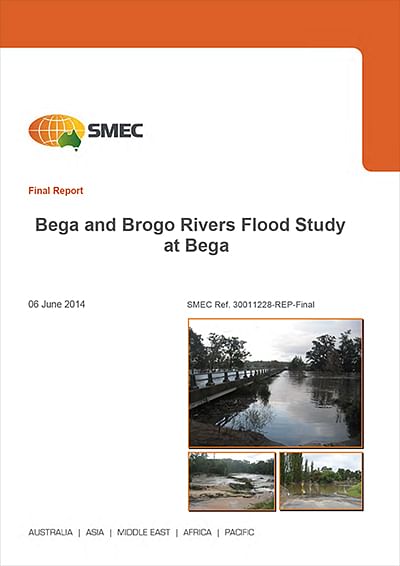 Bega Valley Shire Council engaged consultants SMEC Australia to undertake a flood study for the Bega and Brogo River catchments to update its current flood mapping in light of recent flood events during 2010, 2011 and 2012.
The flood study forms an initial stage towards development of a comprehensive Floodplain Risk Management Plan, in accordance with the NSW Floodplain Development Manual, the management of flood liable land, April 2005.
Council has taken the initiative to carry out the flood study to assist with planning for and managing the risk the community faces from flooding.
The final flood study report formed the technical basis of the current Bega and Brogo Rivers Floodplain Risk Management Study and Plan that incorporated the management and consideration of social/cultural/economic impacts.
The Office of Environment and Heritage (OEH) and the Ministry of Police and Emergency Services (MPES) supported Council by providing funding and technical assistance for the project through the NSW Government’s Floodplain Management Program.
Consultation was carried out via formal public exhibition and the invitation of public comment and submissions, a community flood questionnaire and a number of print media releases and radio interviews throughout the project.
Bega and Brogo Rivers Flood Study
- Copies of the Bega and Brogo Rivers Flood Study are available from the Bega Valley Regional Library for viewing.
Related information
-
State Government Policy
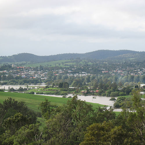
Floodplain Management is administered through the NSW Government’s Floodplain Management Program.
-

Useful Links - Floodplain Management
Other plan, policies and studies that relate to the Floodplain Risk Management of the Bega Valley Shire.
-

Floodplain Risk Management
Floodplain risk management studies and plans.
-
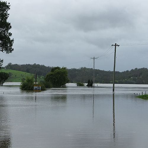
Flood Studies
A Flood Study is a comprehensive technical investigation of flood behaviour in a particular catchment.
-
Flood Warning System Bega and Brogo Rivers
Council is undertaking a feasibility study for a Total Flood Warning System (TFWS).
-

Flooding and Landuse Planning
Flood and Sea Level Rise Policy and related amendment to Bega Valley Development Control Plan 2013.
Our council websites
Contact Us
- 02 6499 2222
- council@begavalley.nsw.gov.au
-
Zingel Place
PO Box 492
Bega NSW 2550 -
Monday to Friday 9.00AM to 4.30PM
Administration building Zingel Place Bega
Australia -
ABN: 26 987 935 332

