Estuary entrance management
Information on estuary function and entrance management.
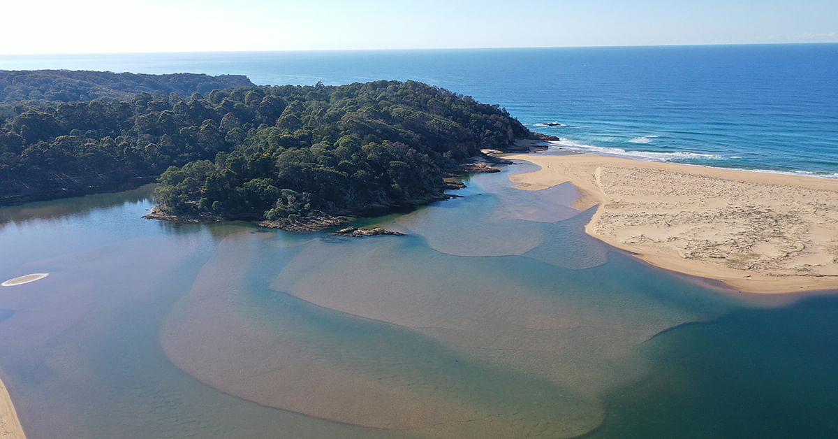
The Bega Valley Shire has 21 intermittently closed and open lakes and lagoons known as ICOLLs.
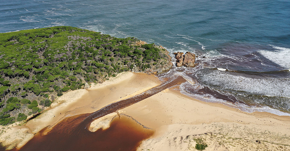
Waves, tidal activity and rainfall events shift sediments within estuary entrances, the build-up of sand from a combination of wave activity and lack of rainfall can lead to closures.

Many of the estuaries within the Bega Valley are left to function naturally; however, there are seven estuaries where Council manually opens the entrance. This is done when water levels exceed predetermined trigger levels to prevent detrimental impacts on access, infrastructure or industry around waterways. These estuaries are Wallaga Lake, Cuttagee Lake, Bega River, Wallagoot Lake, Back Lake, Lake Curalo and Wonboyn Lake.
As per our Entrance Management Polices, estuary entrances are opened once water levels meet or exceed the specific trigger heights. Entrance management involves artificially removing sand around the entrance berm, to release built up waters to the sea. Generally, openings are conducted during the falling stage of the tide to ensure adequate head difference between the lake and the ocean for the first few hours of outflow however, timing of openings will give consideration to waves, ocean height and recent or forecast rainfall.

Entrance Management Trigger Heights for Bega Valley ICOLLS
|
Estuary |
Trigger Height |
Alternate Trigger* |
|---|---|---|
|
Wallaga Lake |
At or above 1.25m AHD |
At or above 1.1m following a 3 month closure or 100m of rainfall forecast |
|
Cuttagee Lake |
At or above 1.8m AHD |
n/a |
|
Bega River |
At or above 1.36m AHD |
1.26-1.36 with 200m of rainfall forecast |
|
Wallagoot Lake |
At or above 1.4m AHD |
At or above 1.2m AHD with 100m of rainfall forecast |
|
Back Lake |
At or above 1.4m AHD |
1.2-1.4m with 100m of rain forecast |
|
Lake Curalo |
At or above 1.2m AHD |
1m-1.2m AHD with 100m of rainfall forecast |
|
Wonboyn Lake** |
At or above 1m AHD |
0.75-1m for minimum 2 months or 100m rainfall |
*alternate trigger are applicable with forecast rainfall in the catchment and/or timeframe of closure. **staged entrance management policy.
Water level gauges have been installed in some of our estuaries which help guide openings and can be viewed at Manly Hydraulics Laboratory website
Council follows the NSW DPI fish habitat management policies and guidelines which support minimal interference. The long-term goal is to retain or progressively reinstate natural behaviour through progressive removal, relocation or modification of assets and activities that are impacted by inundation in order to raise trigger heights.
Are closed lakes still healthy?
Council receives many enquiries regarding estuary health with concerns over water quality, fish stocks and unpleasant smells and odour. Many closed ICOLLS retain good water quality with the flooding and drying natural components of the cycle which support ecological processes operating within the lake.
To find out more about ICOLLs check out the NSW Department of Planning, Industry and Environment Estuary entrance management webpage
‘Entrance Opening Policies’ for any Intermittently Closing and Opening Lakes or Lagoons (ICOLLs)
- ICOLL Entrance Management Policies - Review of Environmental Factors 2016
- Wallaga Lake Entrance Management Policy
- Cuttagee Lake Entrance Management Policy
- Bega River Entrance Management Policy
- Wallagoot Lake Entrance Management Policy
- Back Lake Entrance Management Policy
- Curalo Lagoon Entrance Management Policy


