Green Shoots
A project developed in response to the Tathra and Districts Bushfire of March 2018 to restore natural areas that were destroyed or badly degraded by the fire.
 Project summary
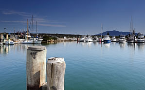
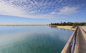
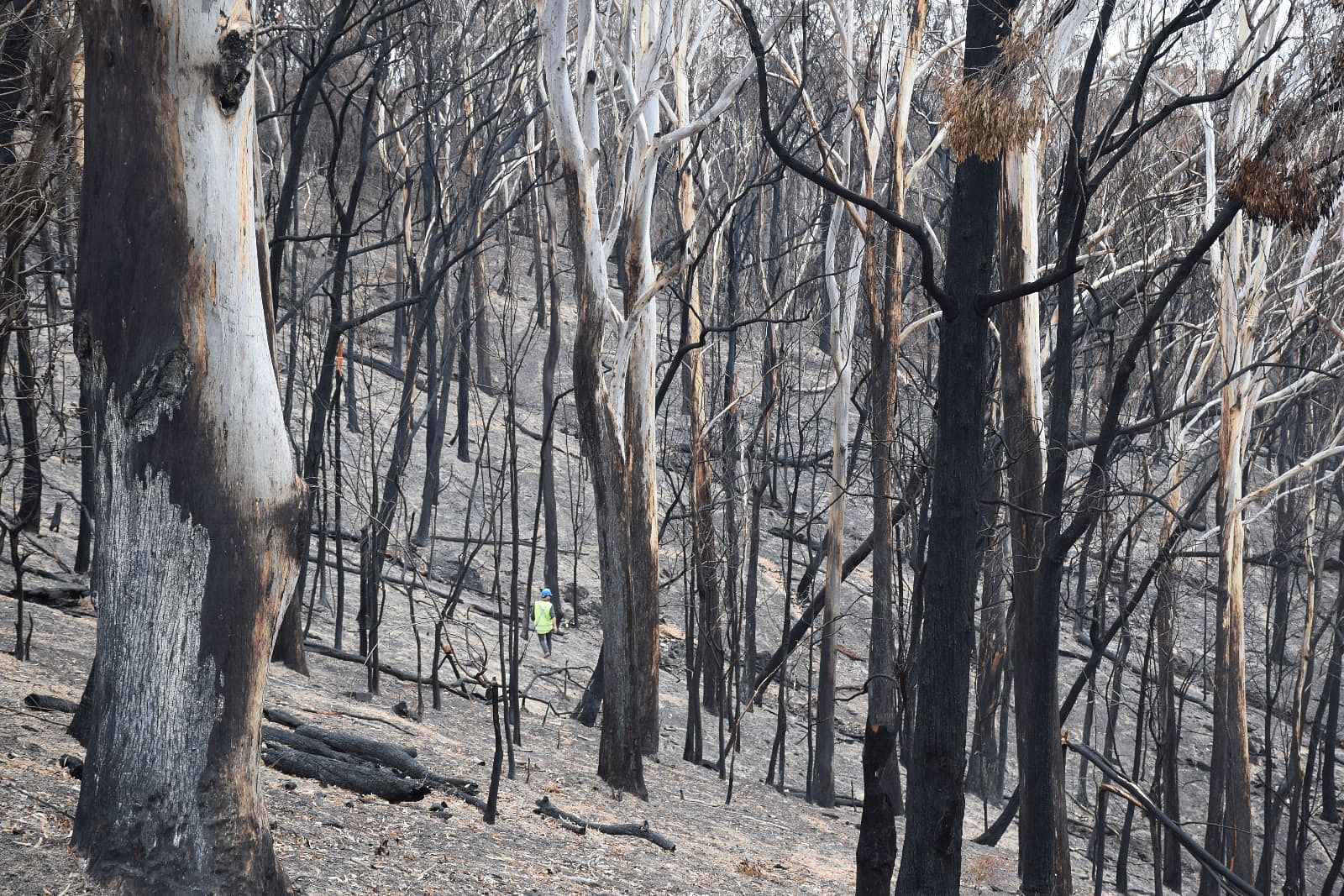
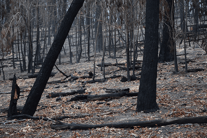
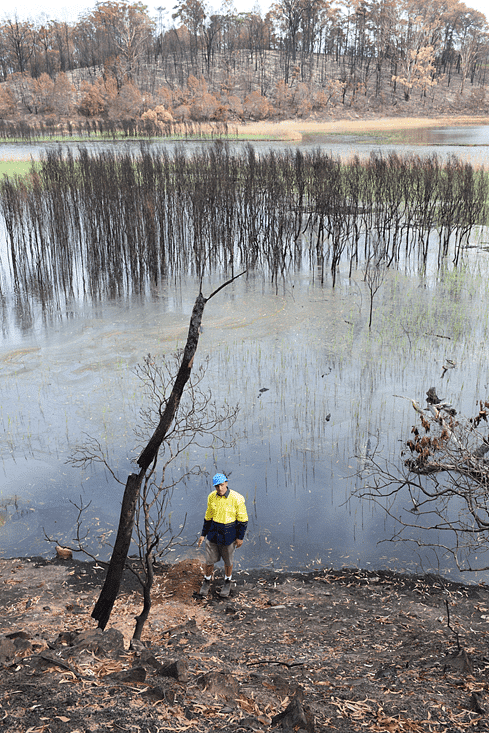
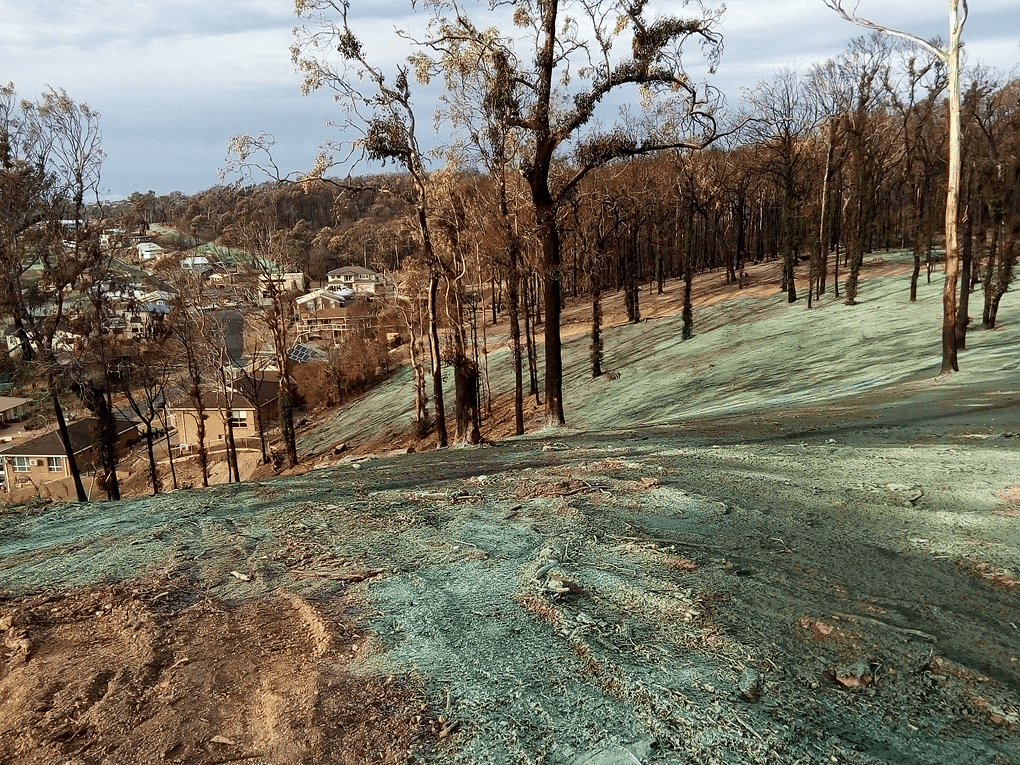
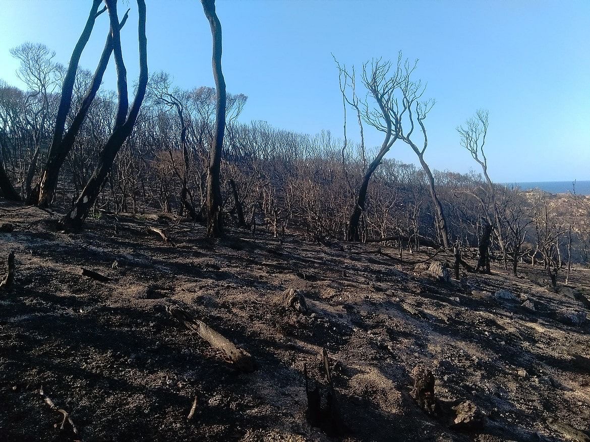
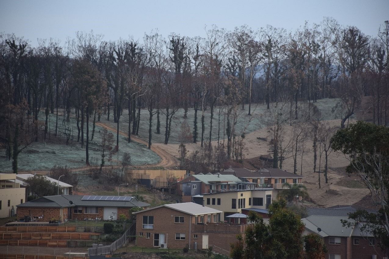
The Green Shoots program was developed in response to the Tathra and Districts Bushfire event in March 2018. Council recognised very soon after the event that the intensity of the fire had impacted the surrounding landscape in a way that presented some unique risks and challenges to the environment. Tathra’s district is made up of an intricate network of high ridges and steep gullies draining into the Bega river estuary and Tathra township. The estuary contains a unique system of sensitive wetlands and is a haven for wildlife as well as recreational fisherman and tourists. The high ridges and ground were badly scolded in the fire leaving no vegetative cover exposing the land to potentially significant soil and sediment loss from gully and sheet erosion. This could have resulting in significant impacts on the waterways and the Tathra township altering the local hydrology and devastating the unique wetland habitats. Council was also cognisant of the fact that significant storm events (east coast lows) can occur during late autumn and early winter which added to the urgency of a situation.
Recognising the issues
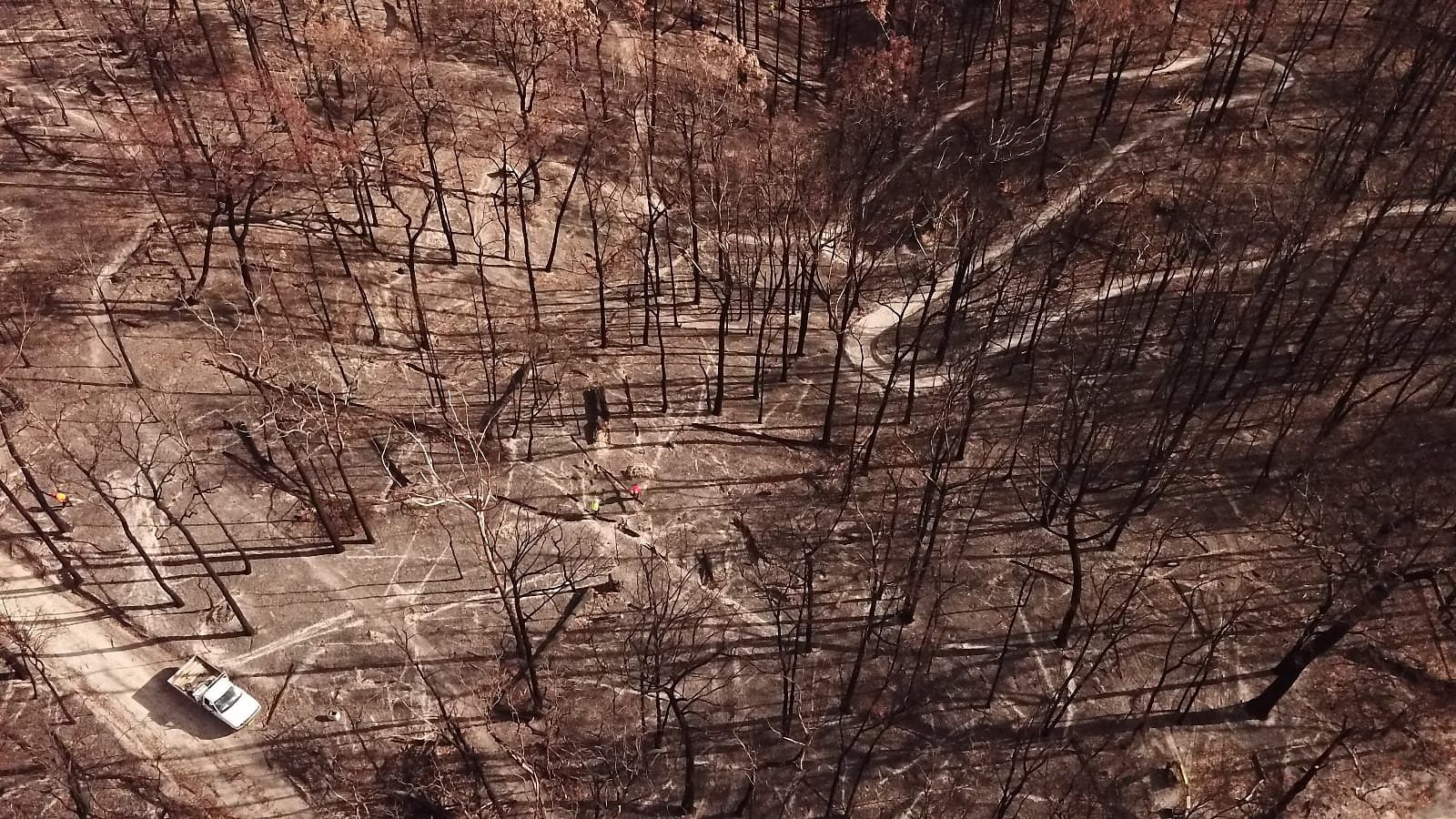
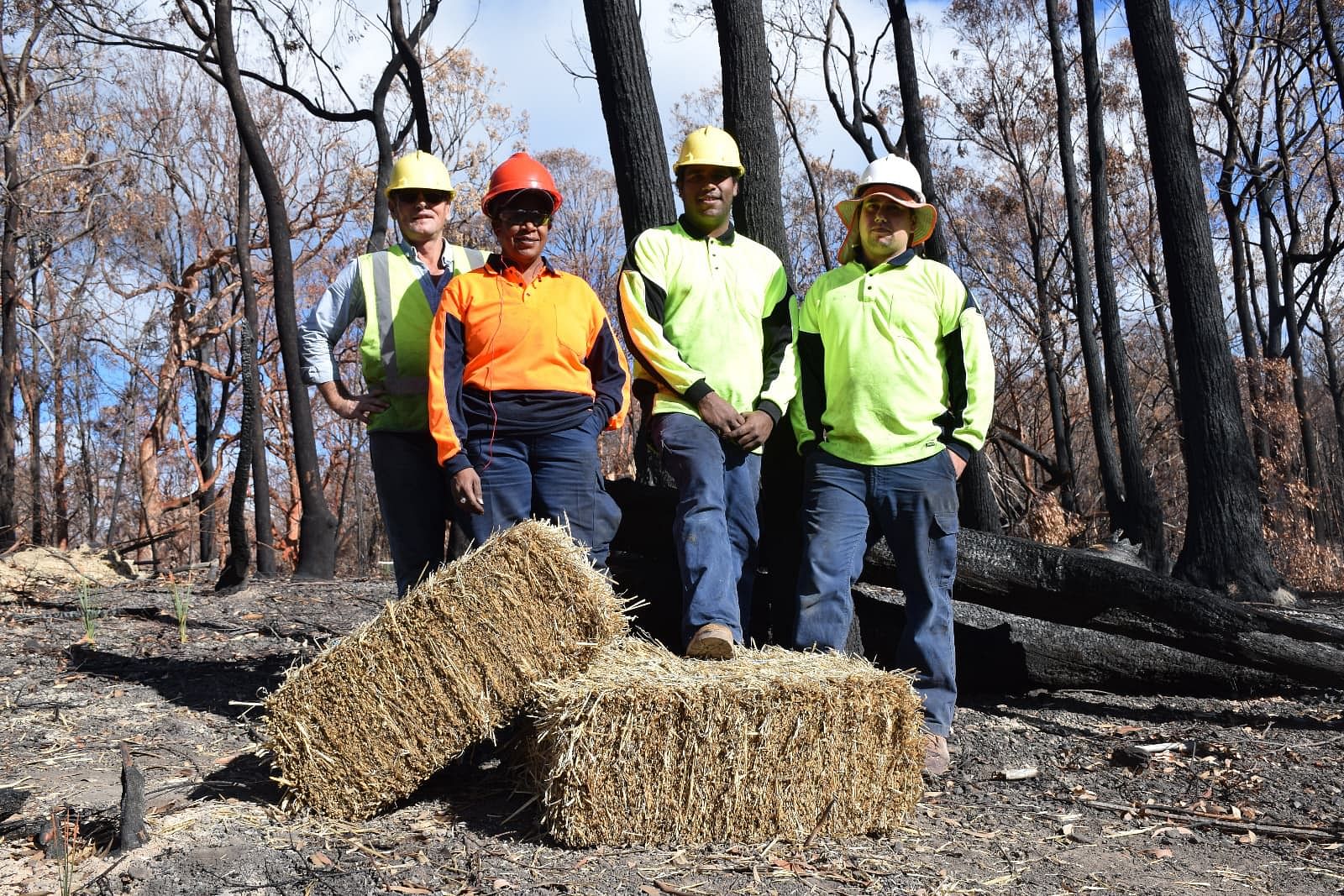
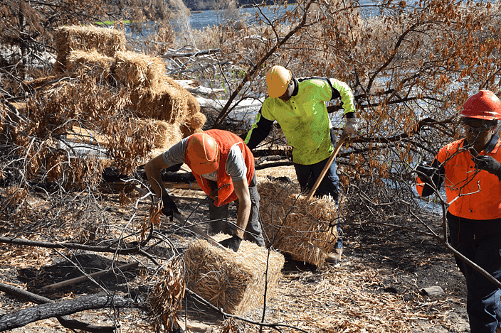
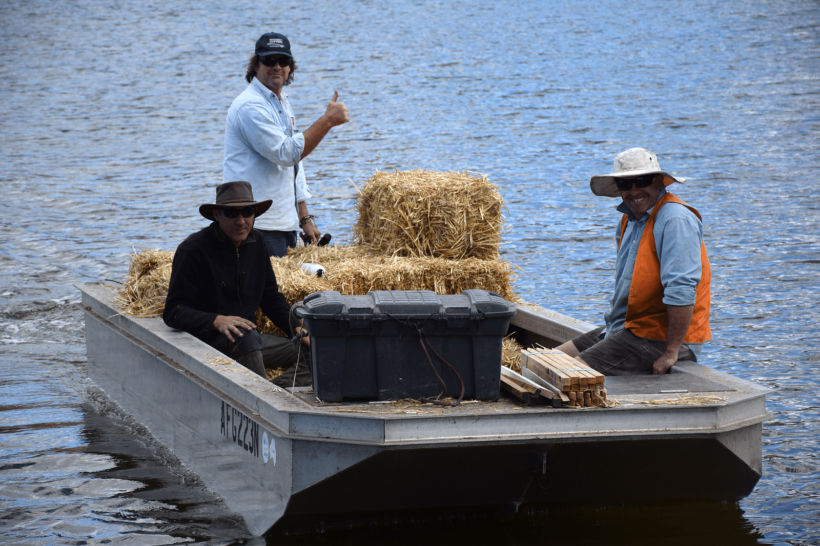
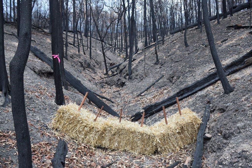
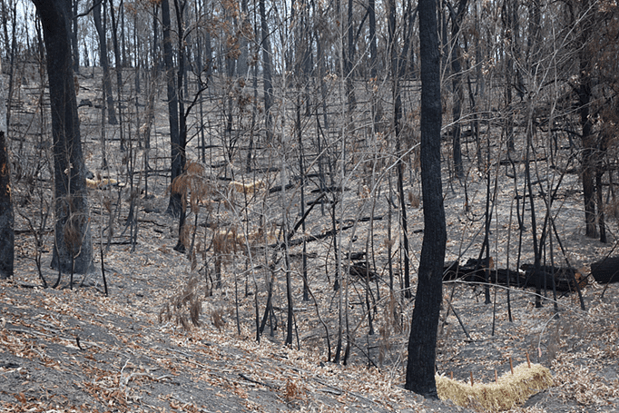
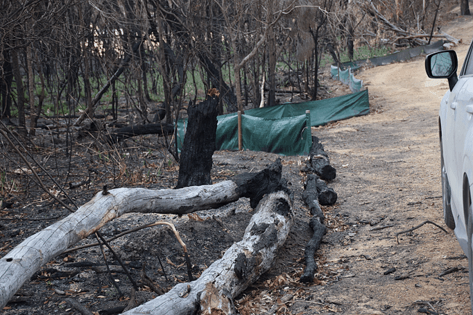
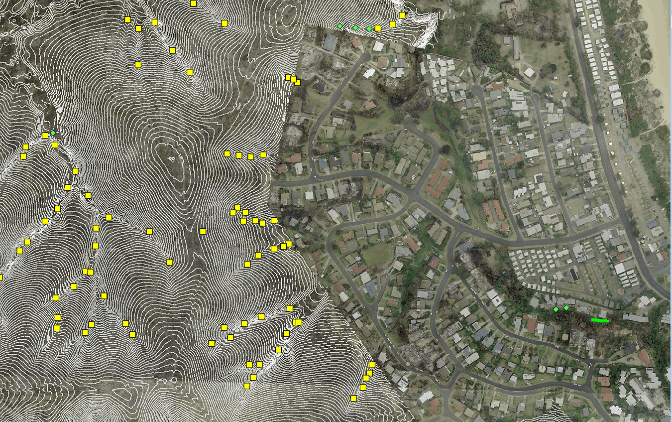
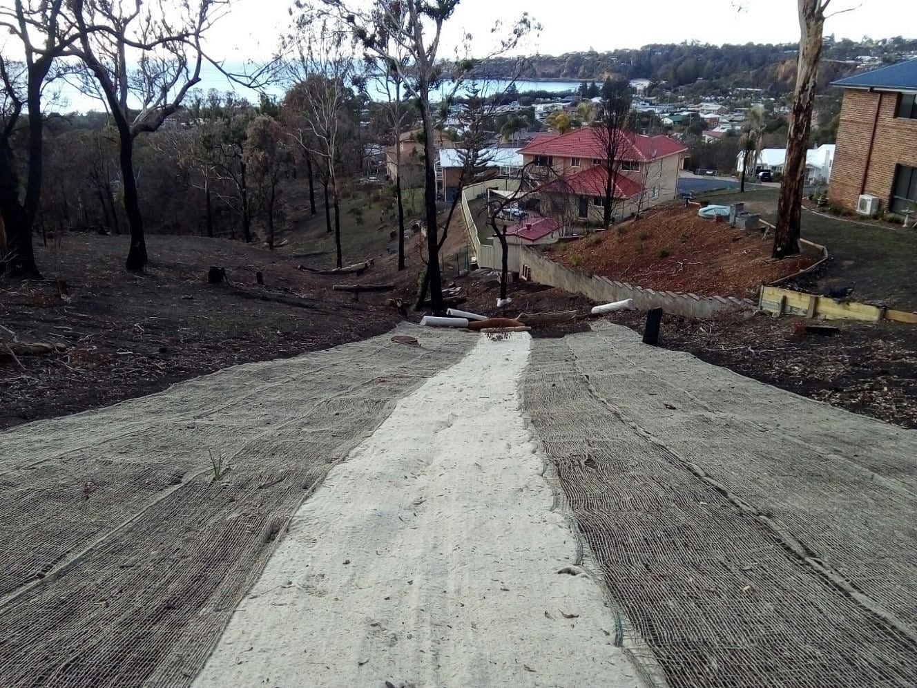
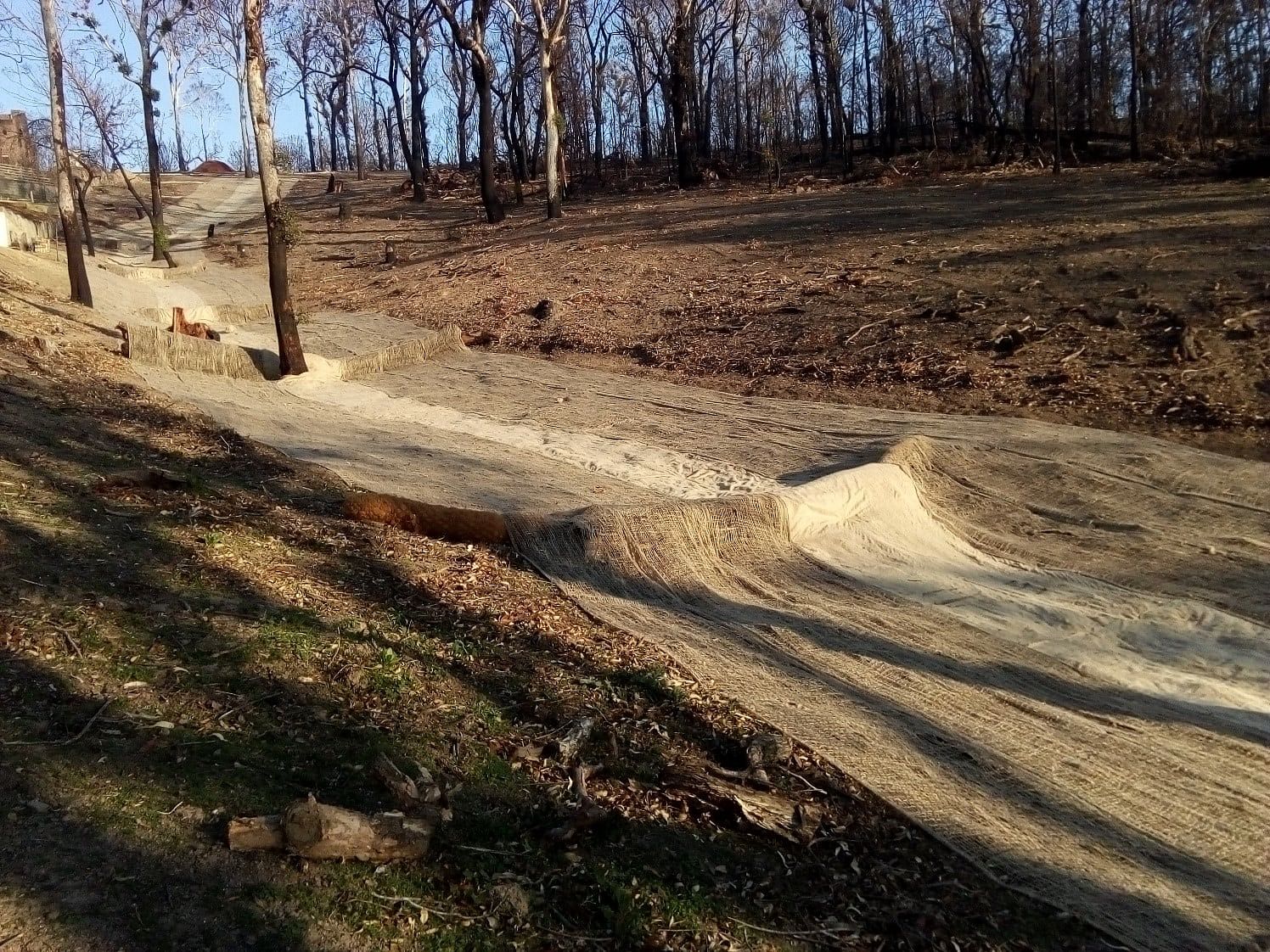
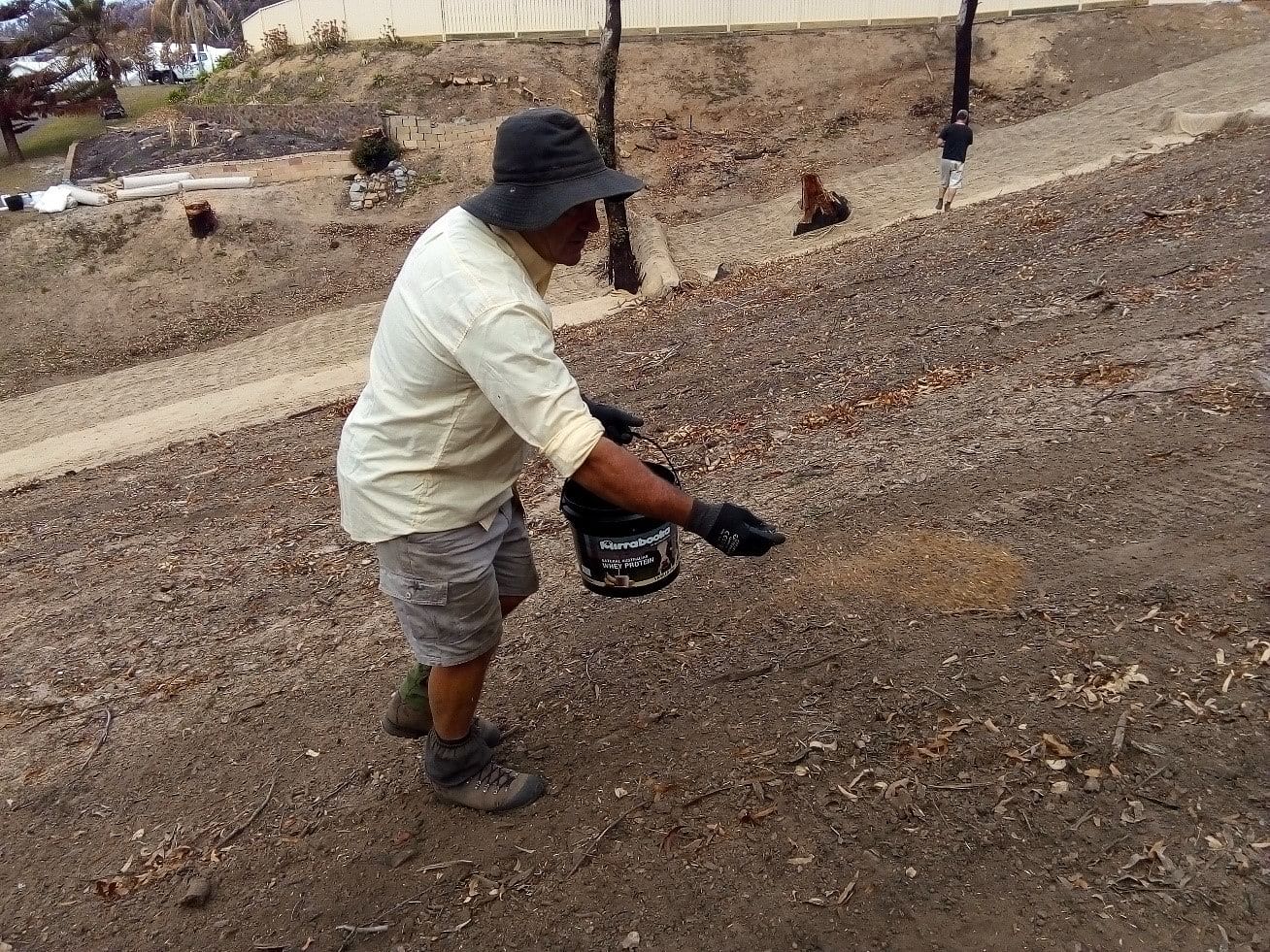
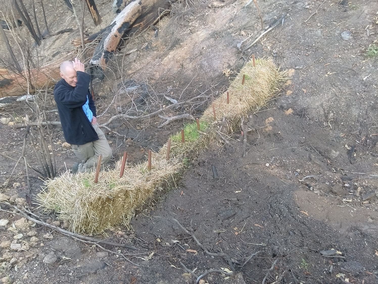
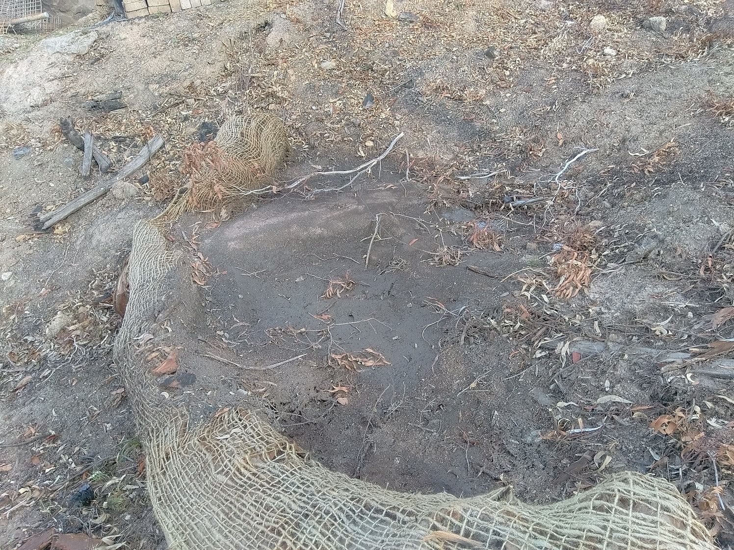
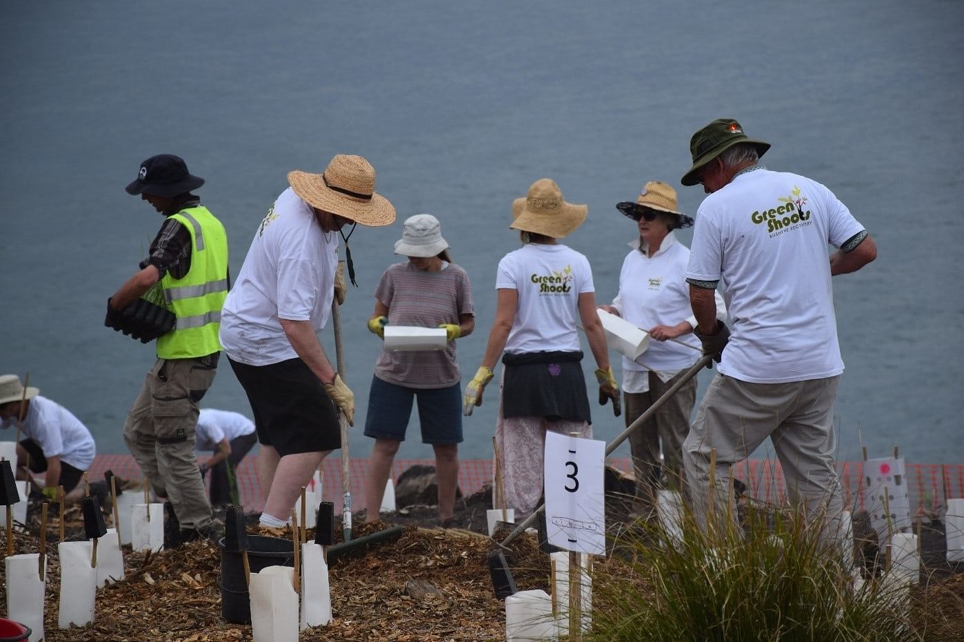
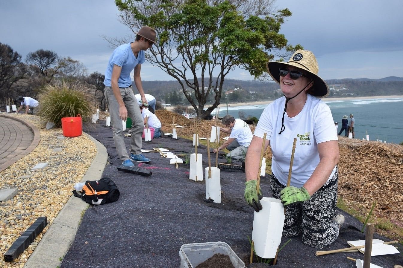
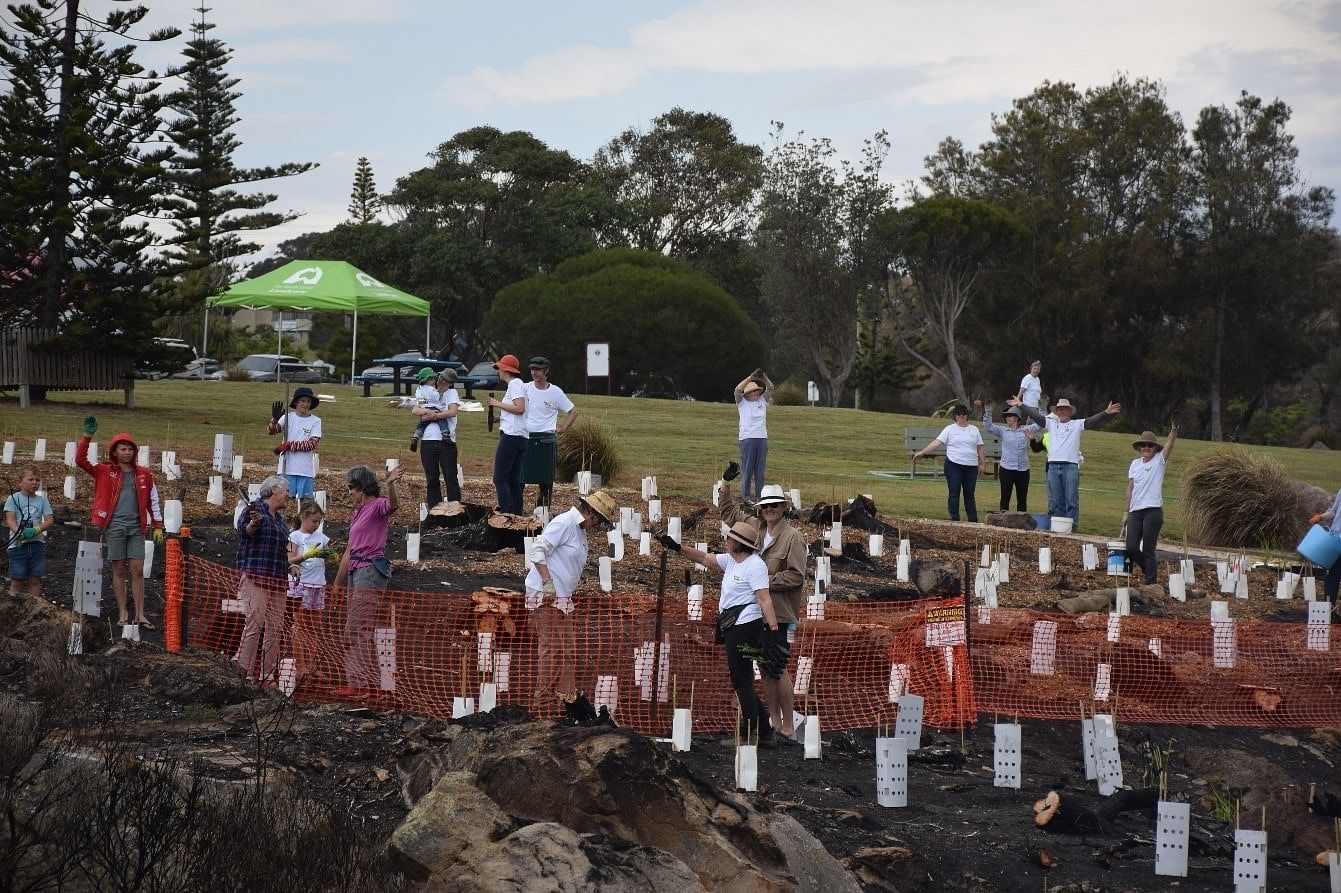
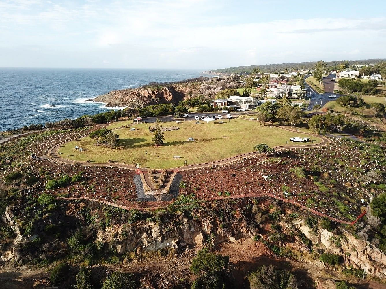
Recognising these issues, in the proceeding weeks Council in collaboration with the Environmental Protection Agency (EPA) engaged the expertise of the Soil Conservation Service who undertook a rapid risk assessment, developing an Erosion Control Plan which made recommendations on how best to address the environmental issues. Finding any funding to support actions from the Erosion Control Plan proved difficult through the disaster response framework. In the absence of any funding Council collaborated with several other agencies and local groups and resolved to find a way forward that was considerably paired back from the original Erosion Control Plan. In the process the Green shoots program was conceived by Council as the umbrella program for all environmental/community restoration works. Council in partnership with South East Local Land Services, Bega Local Aboriginal Land Council (Bega LALC) and local contractors and with guidance from the Soil Conservation Service Erosion Control Plan developed cheap, low technology solutions that were quickly deployed across multiple tenures in the landscape. This included such things as the installation of straw bale and coir log checks in gullies, placement of fallen logs across steep slopes and the installation of sediment fences in strategic locations. The Koori Work Crew through Bega LALC played a key role in the successful deployment of these structures across vast areas of land in what was very rugged and difficult terrain. These activities were also backed up and complemented with community events involving revegetation and seeding activities with Tathra Landcare, Far South Coast Landcare Association, and numerous other individuals from the local community. The Tathra Headland provided the main focal point for the community driven restoration activities. These activities were supported with limited funding from Crown lands, South East Local Land Services and Councils Environment Levy.
What the program has provided
The program provided a positive focus and led a response that provided hope for the community which was devasted by the fire. Through focusing on environmental restoration and fire recovery the program resulted in strong collaboration between different government agencies, organisations, community groups and individuals - bringing communities together. Importantly, the program allowed the community to get involved in the restoration and recovery process to help build moral and engage fire affected people and as well as other members of the community who wanted to support the recovery effort in a positive way. The program also demonstrated the importance of environmental restoration as a part of the communities psychological recovery from a disaster.
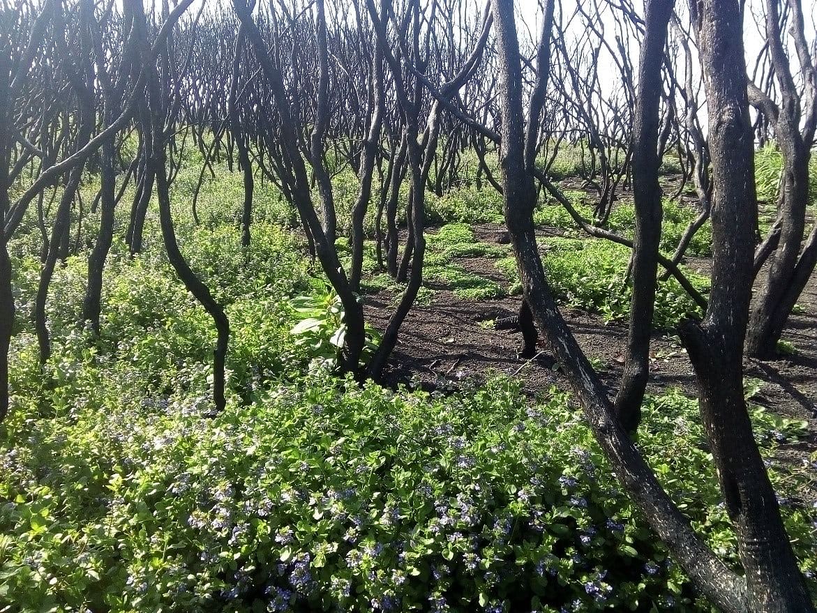
The program continues to monitor the restoration of the natural areas and aid its recovery through strategic weed control, revegetation and re-deployment of erosion and sediment control devices.
Outcomes/Results
The program has achieved the following to date;
- 700 Strawbales deployed (one semi-trailer load)
- 1.5 km of sediment fencing installed
- 200 coir logs deployed
- 100 sediments worms deployed
- 200 hectares of land treated
- 60000 sqm of jute mate and mesh deployed
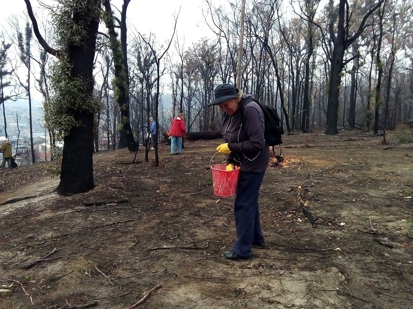
- 15kg of native seed spread
- 20 bags of non-persistent exotic seed (rye corn and oats) spread
- 4000 native seedlings planted
- 70 ha of log placements
- 100 ha of land treated for weeds
Locations
- Bega River Thompsons Drive
- Racecourse wetland
- Black Fellows Lagoon
- Tathra Forest Wildlife Reserve
- Aboriginal Land west of Tathra
- Kianinny Headland Reserve
- Vimy ridge
- Tathra Headland Reserve
- Sanctuary Place reserve
- Dilkera Road
- Tathra Beach and coastal dunes
Purpose
- Protect and restore natural areas following the around Tathra Reedy Swamp Fire March 2018
- Provide opportunities for community members to get involved
- Provide moral support and a positive focus for the recovery effort
Funding
Funding was provided by;
- Crown Lands
- Bega Valley Shire Council
- South East Local Land Services
Connection to Council's Community Strategic Plan
This project is connect to Council's Community Strategic Plan through Outcome 3, Goal 5 and Outcome 4, Goal 8.
Who to speak to:
Environment and Sustainability Services
Bega Valley Shire Council
Phone: (02) 6499 2222
Timeline of events
-
April 2018
- Meeting with partners, South East Local Land Services, Bega LALC, Community members, BVSC, Crown Lands.
- Erosion and Sediment Control trial works undertaken with contractors and Bega LALC.
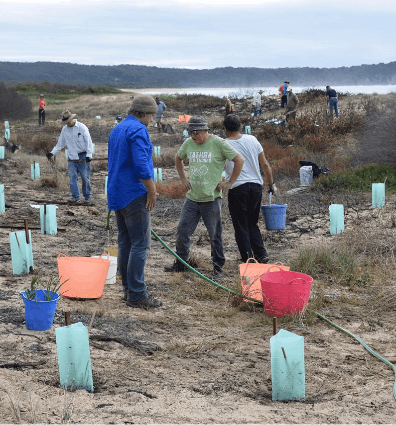
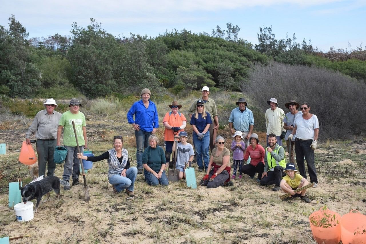
- Community Planting Event Held with Tathra Landcare and FSCLA to restore fire affected areas on the coastal dunes (25 participants).
-
April to September 2018
Erosion and Sediment Control program refined and rolled out with Koori Work Crew through Bega LALC, South East LLS and contractors.
-
July to September 2018
Vimy Ridge private properties assessed and erosion and sediment controls deployed in strategic locations.
-
August 2018
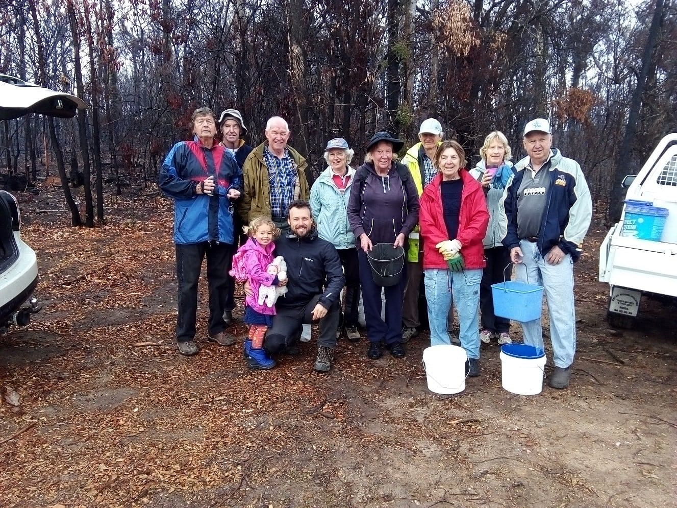
Community Event with Tathra Landcare, seed spreading Oceanview Terrace (15 participants).
-
August 2018 to May 2019
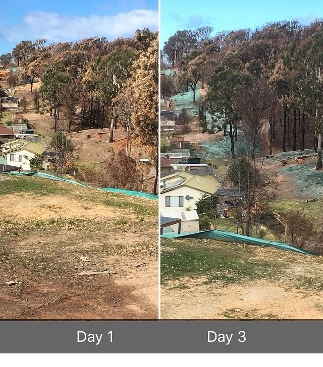
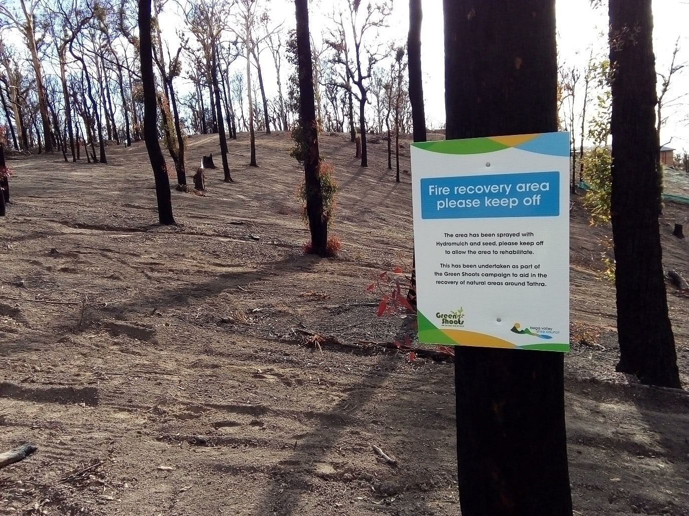
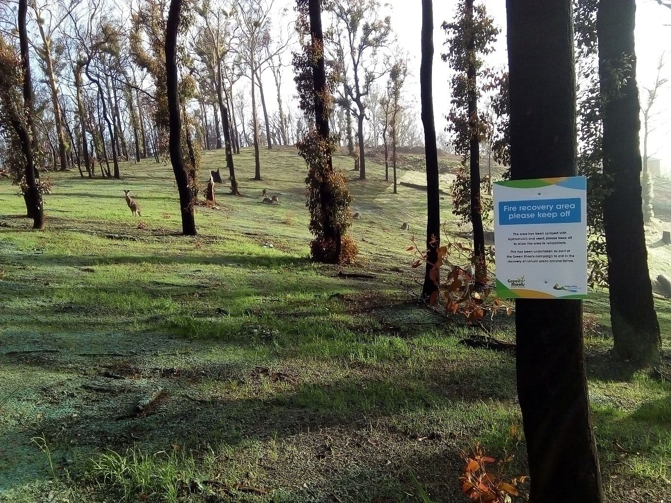
Asset protection zones prepared and treated with combinations of hydro mulch, jute mesh and mat, direct seeding, revegetation at Oceanview Terrace and Wildlife Drive.
-
August 2018 to present
Strategic weed control undertaken on Council Reserves.
-
October 2018
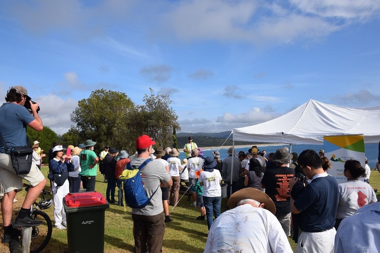
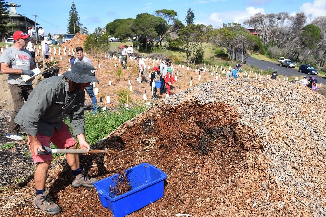
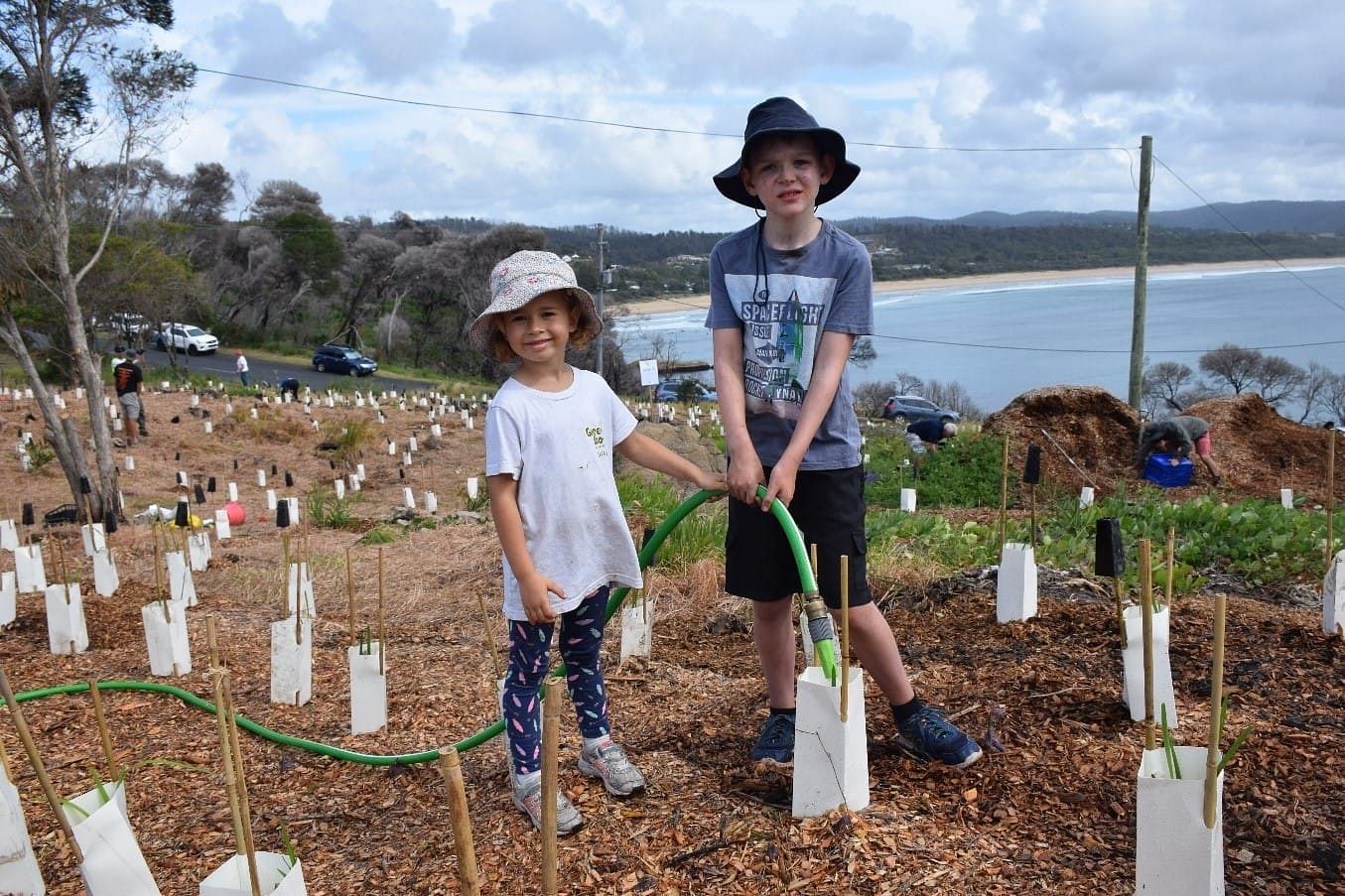
Community Planting Event Tathra Headland, 2500 seedlings planted with 100 participants including Tathra Landcare, FSCLA, Tathra Lions Club, tourists, community members.
-
October 2018 and March 2019
Team Rubicon assist with removal of fire affected vegetation.
-
November 2018
Community Event with Tathra Landcare Revegetation at Sanctuary Place.
-
March 2019
Anniversary Community Planting Event Tathra Headland, 1500 native seedlings planted with 150 participants.
-
March to present 2019
Maintenance of erosion control devices, maintenance of plantings, strategic weed control.
Image Gallery
News and Updates


